The NSW Government Department of Customer Service’s Emergency Information Coordination Unit (EICU) recently released imagery from the recent NSW floods. I was keen to see some before and afters, so built a before and after slider.
[button url=”https://floods.burnett.com.au” target=”blank” style=”default” background=”#2D89EF” color=”#FFFFFF” size=”5″ wide=”no” center=”yes” radius=”auto” icon_color=”#FFFFFF” text_shadow=”none” ]https://floods.burnett.com.au[/button]Tips: you can use the Bookmarks near the + and – controls to zoom to a number of locations.
The photo below shows the intersection of the Colo River and the Hawkesbury River. The terrain is steep and narrow at this point. With both rivers in flood, the Paradise Cafe at Lower Portland copped the brunt of the rising waters.

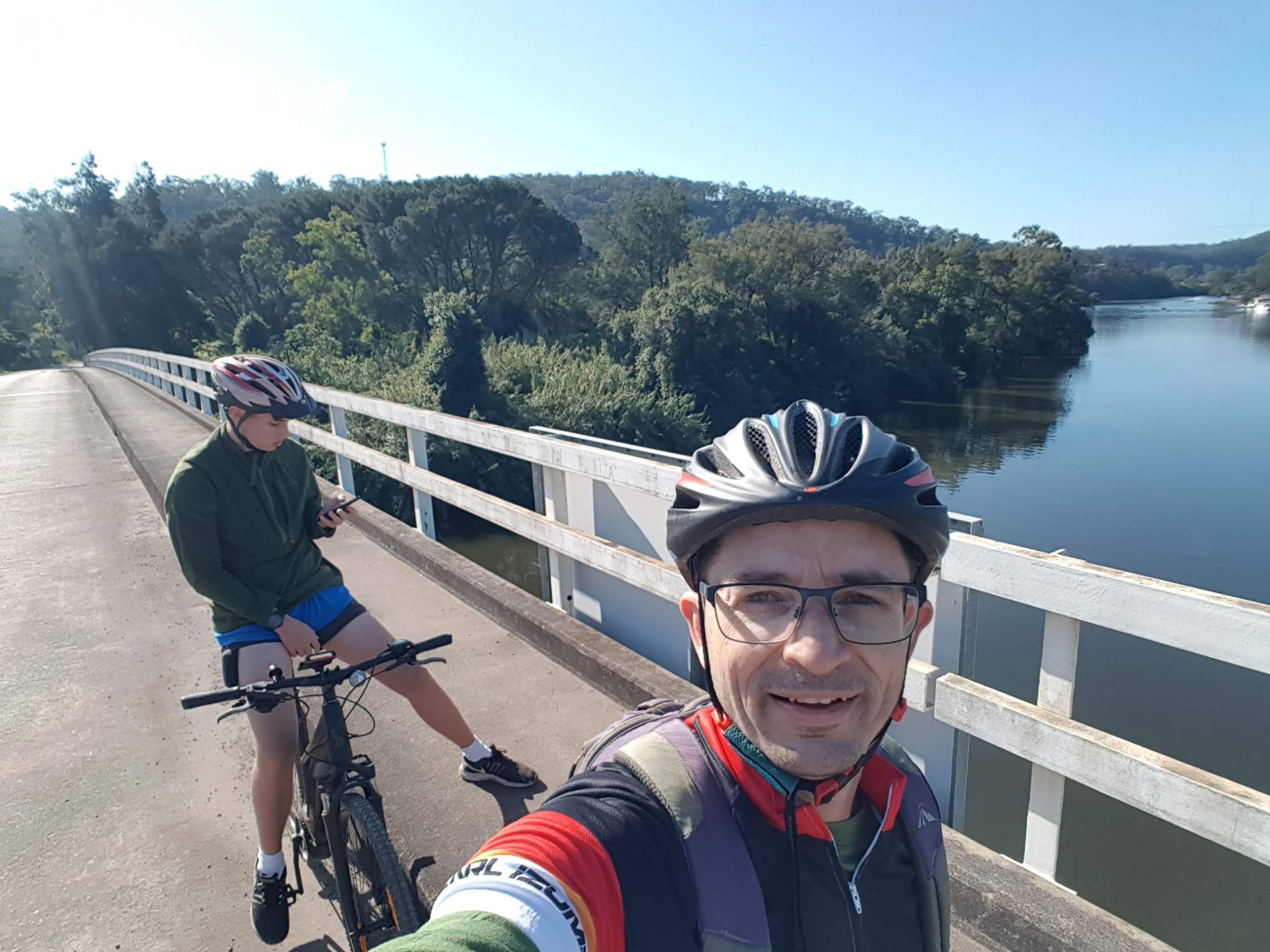
The view from the Greens Road bridge over the Colo River in quieter times.
The original post is https://www.linkedin.com/posts/spatial-services-nsw_spatialdata-lidar-aerialimagery-activity-6791226976578494464-EV9C

Recent Comments