Have you ever wanted to overlay your GPS route on top of an orienteering map? This article explains how it can be done.

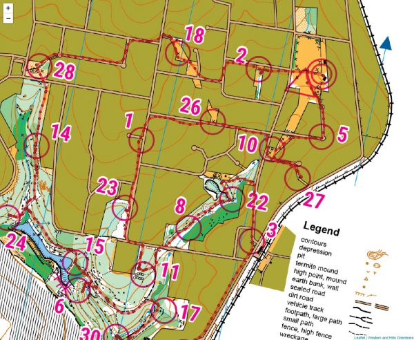
This week saw the Sydney Summer Series orienteering venture to Western and Hills Orienteers’ Vineyard Creek map in Telopea.
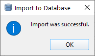
So you have a layer in QGIS that you want to export to PostgreSQL/PostGIS as a new database?
© 2026 ant.burnett.com.au — Powered by WordPress
Theme by Anders Noren — Up ↑