I’m guilty of sometimes getting stuck in an OpenStreetMaps mapping session telling myself ‘just one more edit’. To put this trait to good use, this weekend I participated in the FireWaterMapathon.
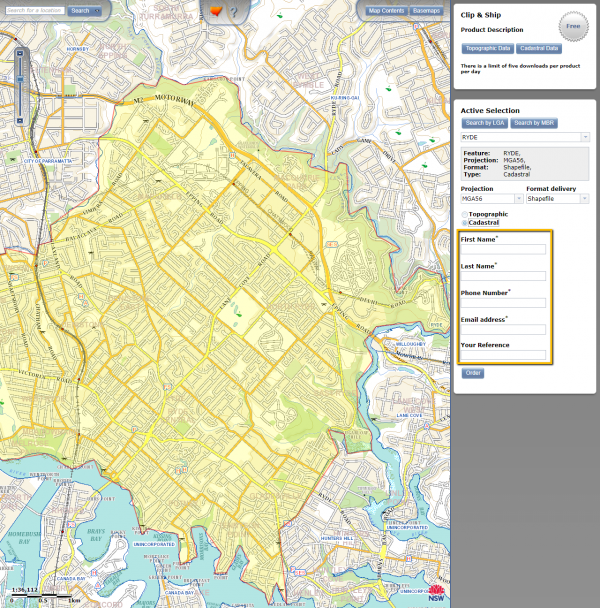
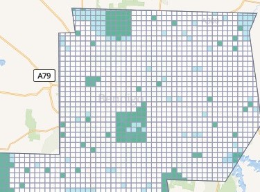
This article shows where to locate cadastral data for any location in NSW, and how to simplify it for use in street orienteering maps.
© 2026 ant.burnett.com.au — Powered by WordPress
Theme by Anders Noren — Up ↑