
I’m guilty of sometimes getting stuck in an OpenStreetMaps session telling myself ‘just one more edit’. To put this trait to good use, this weekend I participated in the FireWaterMapathon.
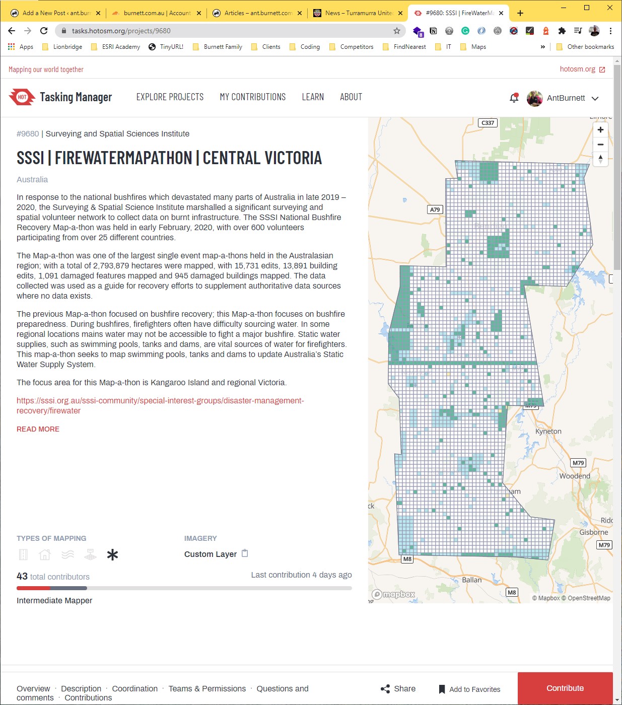
The weekend was organised by the Surveying and Spatial Sciences Institute. The aim was to prepare for the upcoming 2020/2021 bush fire season, and focussed on the areas that dodged the disaster that was the 2019/2020 fire season.
The event was hosted on https://www.hotosm.org/, a platform I had heard of but never used. Humanitarian OpenStreetMapping Team (HOT) is an international team dedicated to humanitarian action and community development through open mapping. Volunteers work together to provide map data which revolutionises disaster management, reduces risks, and contributes to the achievement of the Sustainable Development Goals.
The data being mapped was all dams, swimming pools and water tanks in several areas of Victoria and South Australia. I chose Central Victoria, as there are some of the best gold mining terrain orienteering maps in the world that I could revisit. Being able to see this terrain from the air with high-resolution aerial imagery put a whole new perspective on running there.
Although it was a 24 hour event, sponsors Nearmap kept their API open for an extended period allowing me to rack up over 29 hours of mapping! Some 2700 features later, I was kinda glad to not have to see any more backyard trampolines.
Thanks SSSI, NGIS, Nearmap and others.
Recent Comments