So you have a layer in QGIS that you want to export to PostgreSQL/PostGIS as a new database?
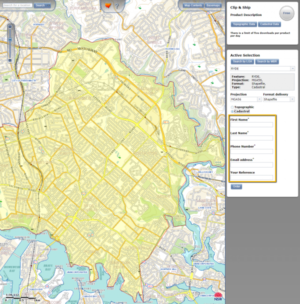
This article shows where to locate cadastral data for any location in NSW, and how to simplify it for use in street orienteering maps.

What’s the point of having a static site if it depends on a WordPress install to get the images? Well, move images to Cloudinary CDN.
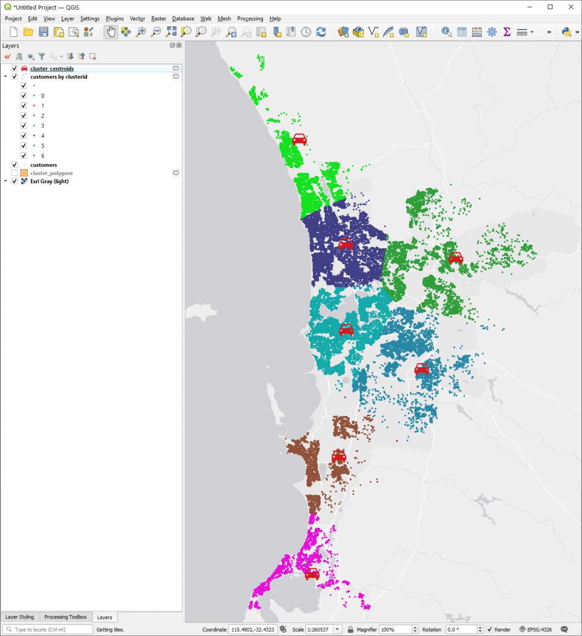
NGIS provided an asset allocation exercise based on carto.com. This article is the QGIS version of the same project.
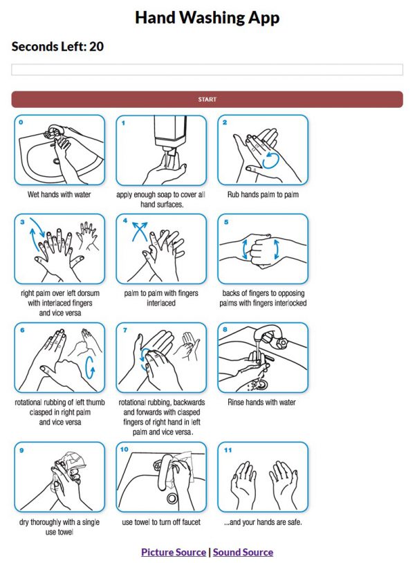
Freecodecamp is an amazing resource. I found this one to deep dive into Svelte. Created by Coding With Noah.

This ESRI course examined some common types of data used for GIS mapping and analysis, and adding data to a file geodatabase to support a planned project.
This ESRI course experimented with the building blocks of a query expression and how to select features that meet one or more attribute criteria.

This ESRI course examined single, unique-value, and graduated symbols.

This ESRI course introduced basic layer property settings you can manage to provide a simplified, focused user experience.

This ESRI course examined the geodatabase which is the native data storage format for ArcGIS.
© 2026 ant.burnett.com.au — Powered by WordPress
Theme by Anders Noren — Up ↑